How to Read a Surf Forecast Like a Pro
22 September 2025
Ever paddled out into what you thought would be epic waves, only to discover it was flat as a pancake or blown to bits with wind chop? Yeah… been there, done that. That’s where reading a surf forecast like a pro comes in. Whether you're a weekend warrior or aspiring shredder, knowing how to decode the data not only saves you time but also maximizes your stoke every time you hit the water.
In this guide, we're breaking down the surf forecast lingo and giving you the inside scoop on how to read it like you’ve been doing it your whole life. Ready to never get skunked again? Let’s dive in.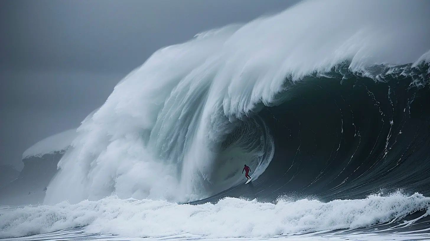
Why Reading a Surf Forecast Matters
Let’s be real — showing up blind to the beach hoping for waves is kind of like playing roulette. You might get lucky, but chances are you'll end up sitting on the sand disappointed while someone else scored perfect conditions just 20 minutes away.Learning how to properly read a surf forecast puts the power in your hands. It means you can:
- Find the best surf spots based on swell direction and wind.
- Pick the perfect time to paddle out, avoiding the mush and catching the glass.
- Stay safe by understanding ocean conditions like rip currents and closeouts.
Simply put? It’s the difference between scoring barrels and getting skunked.
The Key Ingredients of a Surf Forecast
Looking at a surf forecast can feel like staring at a foreign language at first. Don’t worry — we’re gonna break it down into bite-sized pieces.Here are the main ingredients you’ll see on sites like Magicseaweed, Surfline, or Windy:
1. Swell Height
This is the size of the incoming waves out at sea, measured in feet or meters. But here's the kicker — swell height doesn't automatically equal wave face height. A 6-foot swell doesn’t mean 6-foot waves on the beach.Why? Because the ocean’s like a game of telephone. The further the swell travels, the more it changes depending on wind, tide, and the shape of the seafloor.
So, what should you look for?
- 1-3 ft: Great for beginners.
- 3-6 ft: Intermediate goldmine.
- 6+ ft: Time to bring your A-game (or sit it out if you're not ready).
2. Swell Period (Also Called Wave Interval)
Here's where things get juicy. The swell period is the amount of time (in seconds) between each wave. This tells you how much power is behind the swell.Longer period = more energy = bigger, cleaner waves.
- < 8 seconds: Windswell, short-period, usually choppy.
- 9–12 seconds: Medium-quality surf.
- 13+ seconds: Groundswells that travel far and pack a punch.
So, a 4 ft swell at 15 seconds? WAY better than a 6 ft swell at 6 seconds. Trust me.
3. Swell Direction
Surf spots don’t just light up with any swell. They’re like radio antennas — they work best when the swell antennas point their way.Picture your favorite beach on a map. If it faces southwest, then a SW swell (coming from the southwest) is your sweet spot.
How to read this:
- N, NE, E, SE, S, SW, W, NW – Check which direction your local break responds to. Get this right and you're golden.
4. Wind Direction and Speed
Wind is either your best friend or your worst enemy in surfing. The general rule of thumb?- Offshore wind (blowing from land to sea) = groomed, glassy waves.
- Onshore wind (blowing from sea to land) = choppy, messy conditions.
Wind speed also matters. Light wind (under 10 mph) is okay, but anything above 15–20 mph usually turns the ocean into a blender.
5. Tide
Tide changes everything — wave shape, size, and speed. Some spots only work on a low tide, while others come alive on the high tide.Check your surf spot’s tide preference using local guides or just by experience. Pro tip: middle tides often offer the most consistent conditions.
Putting It All Together: Example Time
Alright, let’s bring it all together with a sample forecast.Forecast:
- Swell: 4.5 ft @ 14 seconds from the WSW
- Wind: Light offshore (5 mph) from the ENE
- Tide: Rising tide, mid into high
- Surf Height (estimated face): 5–7 ft
This sounds like a dream setup for many west-facing beaches. Long-period swell with moderate size, clean offshore winds, and a rising tide. Time to wax up and paddle out!
Common Mistakes to Avoid
Even the most stoked surfers can misread a forecast. Let’s run through a few traps to avoid:1. Focusing Only on Swell Height
Bigger doesn’t always mean better. A large waves on a short period will often be messy and close out. Always check the period.2. Ignoring the Wind
The wind can completely destroy a good swell. Offshore wind can turn mush burgers into peeling dream waves. Onshore? Instant junk.3. Not Knowing Your Local Break
Some spots love high tide. Others turn to mush. Get to know your local surf spots like you know your favorite pizza place — inside and out.4. Relying Too Heavily on “Surf Height”
The “Surf Height” shown on most sites is an estimated face height, which can vary a LOT from spot to spot. It’s not gospel. Read the full forecast.Tools of the Trade: Best Surf Forecast Websites & Apps
Want to surf smarter? These are some of the top tools used by surfers worldwide:1. Magicseaweed
- Simple interface, easy to read.- Swell charts, period, tide, and wind data.
- Historical data and premium cams.
2. Surfline
- Trusted by pros around the world.- Spot-specific forecasts with cams.
- Premium membership unlocks long-range forecasts.
3. Windy
- Great for wind and weather patterns.- Use it alongside your main surf app for full coverage.
4. Stormsurf / Buoyweather
- More advanced, buoy-based analysis.- Great for surf nerds and big wave hunters.
Bonus Tips to Surf Like a Local
Want to add a little more magic to your surf sessions? Here are some next-level tips:- Check the cams. Live surf cams give you the REAL view. Forecasts are predictions. Cams are reality.
- Follow the buoys. NOAA buoys give you raw swell data before it hits the coast.
- Use local knowledge. Hang with experienced locals. They know the secret setups and live by the tides.
- Track your sessions. Use apps like Dawn Patrol or Surfline Sessions to track when and where you score the best waves.
- Keep a surf journal. Nerdy? Maybe. But writing down your sessions helps you spot patterns faster than any app can.
Final Thoughts
Reading a surf forecast like a pro isn’t rocket science. It’s an art mixed with a little science — and a lot of trial and error. Once you nail down how swell, wind, tide, and direction affect your favorite breaks, you’ll be able to spot golden sessions before they even happen.So next time you're about to head out, spend just five minutes on your surf forecast. It'll pay off with more waves, better sessions, and way fewer frustrating beach days.
And hey — who doesn’t want to surf more and sit around less?
Get out there and score!
all images in this post were generated using AI tools
Category:
SurfingAuthor:

Onyx Frye
Discussion
rate this article
1 comments
Matteo Wade
This article breaks down surf forecasting clearly and effectively. The tips on understanding swell direction, wind patterns, and tide effects are invaluable for both beginners and seasoned surfers. A great resource to enhance your surf sessions and maximize wave quality. Definitely worth a read before hitting the beach!
October 18, 2025 at 7:50 PM
Onyx Frye
Thank you for your feedback! I'm glad you found the tips helpful for enhancing your surf experience. Happy surfing!